
This is an easy-to-use AGS to excel online file convertor. Transform your .ags files to .xlsx files so you can review your data with ease.
This tool is used to create ags from Borehole PDF. The user needs to provide pdf of borehole in standard format, where the pdf contains the borehole information such as depth, lithology, elevation.

This is an online AGS validation tool. Upload your .ags files to review and verify their format and content.

Upload an AGS file and explore its boreholes and stratigraphy as an interactive 3D model. Boreholes sit at their true coordinates and each geological layer is drawn as a colour-coded column.
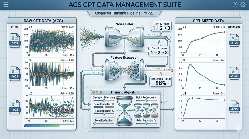
Reduce the data volume of SCPT records inside AGS 4.0 files using Douglas–Peucker simplification with local min/max locking. Stratigraphy and channel peaks are preserved; non-SCPT groups pass through unchanged.

This tool is used to create elevation / contour maps for the provided data. The user needs to provide data in x,y,z format, where x, y are normally the northern and eastern coordinates and z is the elevation.